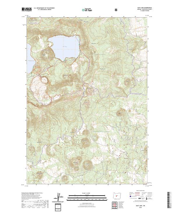
2024 Map of East Lake
USGS Topo · Published 2024About this map
Newberry Volcano dominates this high-altitude landscape, centered on the dramatic caldera containing East Lake and a portion of Paulina Lake. The geological history of the Newberry National Volcanic Monument is meticulously detailed, showing the Central Pumice Cone rising between the lakes and various eruptive features like Atsa Cone and Cinder Cone to the south. The terrain is defined by its volcanic heritage, with numerous buttes and domes such as The Dome, Odai Dome, and Box Butte punctuating the Deschutes National Forest. A complex network of recreation trails, including the Crater Rim Trl and Newberry Crater Trl, provides access to landmarks like North Paulina Peak and Devils Horn, illustrating how this active geological site is managed for modern exploration and conservation within the Paulina Mountains.
Find a feature on this map
41 named features on this map. Tap any name to fly to it.
Don’t see what you’re looking for? This feature index may not catch every label — zoom into the map to look around manually.
Map Details
Editions of this 2024 East Lake Map
This is the sole edition of this map. No revisions or reprints were ever made.
Other maps of this area

1931 · Newberry Crater
USGS Topo · 1:125,000

1935 · Newberry Crater
USGS Topo · 1:125,000

1955 · Crescent
USGS Topo · 1:250,000

1957 · Crescent
USGS Topo · 1:250,000

1958 · Crescent
USGS Topo · 1:250,000
1963 · Lava Cast Forest
USGS Topo · 1:24,000
1963 · Spring Butte
USGS Topo · 1:24,000
1963 · Paulina Peak
USGS Topo · 1:24,000
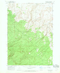
1967 · Evans Well
USGS Topo · 1:24,000
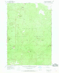
1967 · Fuzztail Butte
USGS Topo · 1:24,000