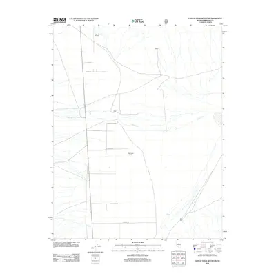
2012 Map of East of Davis Mountain
USGS Topo · Published 2012About this map
Fish Lake Valley dominates this high-desert landscape in Esmeralda County, where water is the primary driver of settlement and road development. The seasonal flows of Chiatovich Cr and Marble Cr define the alluvial patterns that support local agriculture, most notably at Chiatovich Ranch and Dyer Ranch. These ranching outposts are connected by a functional grid of rural routes like Chiatovich Rd and Stockman Rd, which navigate the wide floor between mountain ranges. Smaller landmarks such as McGeer and Deep Spring punctuate the arid terrain, while the North Valley Airport provides a modern link to the region's remote interior. The map illustrates how human activity follows the path of water in the Great Basin, with roads often tracing the easiest gradients offered by ephemeral streams like Dry Cr.
Find a feature on this map
17 named features on this map. Tap any name to fly to it.
Don’t see what you’re looking for? This feature index may not catch every label — zoom into the map to look around manually.
Map Details
Editions of this 2012 East of Davis Mountain Map
This is the sole edition of this map. No revisions or reprints were ever made.
Other maps of this area
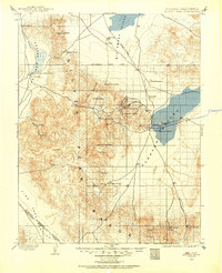
1898 · Silver Peak
USGS Topo · 1:125,000
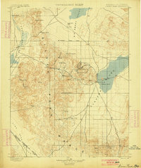
1900 · Silver Peak
USGS Topo · 1:125,000
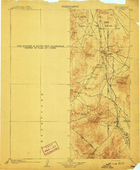
1908 · Lida
USGS Topo · 1:250,000
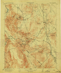
1913 · Lida
USGS Topo · 1:250,000
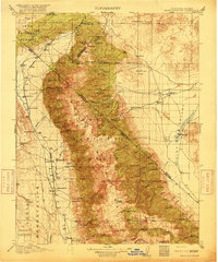
1917 · White Mountain
USGS Topo · 1:125,000

1947 · Mariposa
USGS Topo · 1:250,000

1948 · Mariposa
USGS Topo · 1:250,000

1954 · Goldfield
USGS Topo · 1:250,000
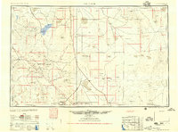
1955 · Goldfield
USGS Topo · 1:250,000
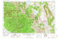
1957 · Mariposa
USGS Topo · 1:250,000