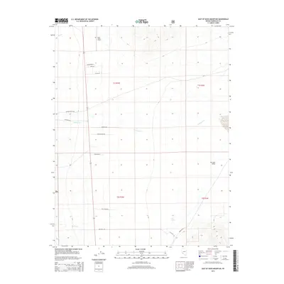
2014 Map of East of Davis Mountain
USGS Topo · Published 2014About this map
Fish Lake Valley defines the topography of this Esmeralda County landscape, where water and transit have historically shaped the local economy. The intermittent flows of Chiatovich Cr, Dry Cr, and Marble Cr descend from the higher elevations into the valley floor, marking the seasonal water resources critical to the area's ranching and mining heritage. The map documents an extensive network of local roads that lead to specific homesteads and operations, such as Hardman Ranch Rd and Lazy L Ranch Rd, alongside industrial access like the Bbb Mine Road Q-020. Aviation infrastructure is represented by the North Valley Airport in the northern section. These features, along with Deep Spring and various section lines, provide a clear view of how land use is organized across the desert basins of western Nevada.
Find a feature on this map
21 named features on this map. Tap any name to fly to it.
Don’t see what you’re looking for? This feature index may not catch every label — zoom into the map to look around manually.
Map Details
Editions of this 2014 East of Davis Mountain Map
This is the sole edition of this map. No revisions or reprints were ever made.
Other maps of this area
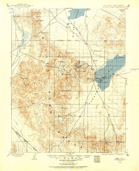
1898 · Silver Peak
USGS Topo · 1:125,000
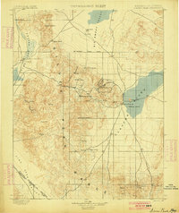
1900 · Silver Peak
USGS Topo · 1:125,000
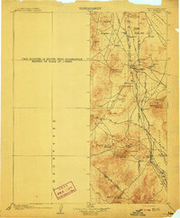
1908 · Lida
USGS Topo · 1:250,000
1913 · Lida
USGS Topo · 1:250,000
1917 · White Mountain
USGS Topo · 1:125,000

1947 · Mariposa
USGS Topo · 1:250,000

1948 · Mariposa
USGS Topo · 1:250,000

1954 · Goldfield
USGS Topo · 1:250,000
1955 · Goldfield
USGS Topo · 1:250,000
1957 · Mariposa
USGS Topo · 1:250,000