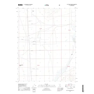
2018 Map of East of Davis Mountain
USGS Topo · Published 2018About this map
Fish Lake Valley dominates this high-desert landscape in Esmeralda County, where the transition between agricultural ranching and wild public lands is clearly defined. The mapping reveals a distinct network of private ranch roads, such as Arlemont Ranch Rd, Hartman Ranch Rd, and A Lazy L Ranch Rd, indicating the deep-rooted agricultural presence in this arid basin. To the west, the boundary of the Inyo National Forest marks the ascent into more mountainous terrain, with seasonal drainages like Marble Cr and Chiatovich Cr descending from the heights toward the valley floor. The presence of the North Valley Airport and a series of rural routes like Penne Baker Rd suggests a sparsely populated but active community centered on aviation and land management. Hydrological features such as Deep Spring and Dry Cr highlight the vital and varied water sources necessary for sustaining life in this corner of Nevada.
Find a feature on this map
17 named features on this map. Tap any name to fly to it.
Don’t see what you’re looking for? This feature index may not catch every label — zoom into the map to look around manually.
Map Details
Editions of this 2018 East of Davis Mountain Map
This is the sole edition of this map. No revisions or reprints were ever made.
Other maps of this area
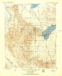
1898 · Silver Peak
USGS Topo · 1:125,000
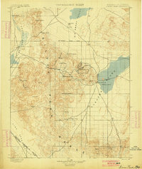
1900 · Silver Peak
USGS Topo · 1:125,000
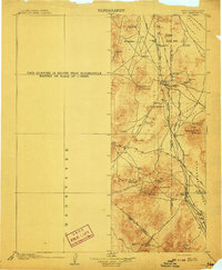
1908 · Lida
USGS Topo · 1:250,000
1913 · Lida
USGS Topo · 1:250,000
1917 · White Mountain
USGS Topo · 1:125,000

1947 · Mariposa
USGS Topo · 1:250,000

1948 · Mariposa
USGS Topo · 1:250,000

1954 · Goldfield
USGS Topo · 1:250,000
1955 · Goldfield
USGS Topo · 1:250,000
1957 · Mariposa
USGS Topo · 1:250,000