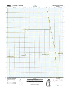
2013 Map of East of Deltaville
USGS Topo · Published 2013About this map
Chesapeake Bay dominates this coastal survey, where the open waters of the Mid-Atlantic define the landscape. This particular quadrangle focuses on the maritime environment east of the Virginia shoreline, providing a clear view of the aquatic expanse just beyond the mainland. The only significant landform appearing on this sheet is the Rappahannock Spit, a narrow geographical feature extending into the bay. This map captures the physical state of these coastal waters and the shifting spit as they existed in the early twenty-first century, offering a baseline for environmental study and nautical history in a region defined by its relationship with the tide and current.
Find a feature on this map
2 named features on this map. Tap any name to fly to it.
Don’t see what you’re looking for? This feature index may not catch every label — zoom into the map to look around manually.
Map Details
Editions of this 2013 East of Deltaville Map
This is the sole edition of this map. No revisions or reprints were ever made.
Other maps of this area

1916 · Kilmarnock
USGS Topo · 1:48,000

1916 · Mathews
USGS Topo · 1:62,500

1917 · Kilmarnock
USGS Topo · 1:62,500

1917 · Mathews
USGS Topo · 1:62,500

1942 · Kilmarnock
USGS Topo · 1:62,500

1943 · Richmond
USGS Topo · 1:250,000

1948 · Deltaville
USGS Topo · 1:24,000

1948 · Mathews
USGS Topo · 1:24,000
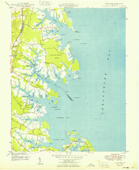
1949 · Fleets Bay
USGS Topo · 1:24,000

1949 · Richmond
USGS Topo · 1:250,000