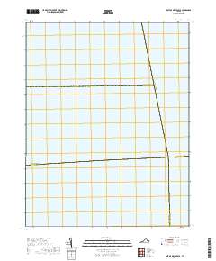
2019 Map of East of Deltaville
USGS Topo · Published 2019About this map
Administrative boundaries intersect over open water in this maritime-focused survey of the Chesapeake Bay region. The map defines the convergence of several Virginia jurisdictions, charting the aquatic borders of Lancaster Co Middlesex Co and the southern reach of Accomack Co. While terrestrial features are absent, the map serves as a precise geographic record of how local county lines, including those of Middlesex Co Mathews Co, are projected across the bay's surface. These invisible lines are vital for understanding jurisdictional limits for fishing, navigation, and regional maritime history. The meeting points of Accomack Co Northampton Co and Mathews Co Northampton Co provide a rare look at the exact coordinates where the Eastern Shore and Middle Peninsula political boundaries align in the open sea.
Find a feature on this map
5 named features on this map. Tap any name to fly to it.
Don’t see what you’re looking for? This feature index may not catch every label — zoom into the map to look around manually.
Map Details
Editions of this 2019 East of Deltaville Map
This is the sole edition of this map. No revisions or reprints were ever made.
Other maps of this area
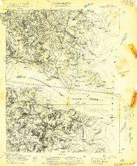
1916 · Kilmarnock
USGS Topo · 1:48,000
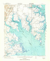
1916 · Mathews
USGS Topo · 1:62,500
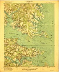
1917 · Kilmarnock
USGS Topo · 1:62,500
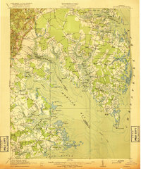
1917 · Mathews
USGS Topo · 1:62,500
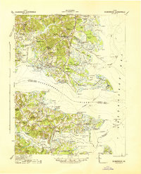
1942 · Kilmarnock
USGS Topo · 1:62,500
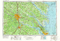
1943 · Richmond
USGS Topo · 1:250,000
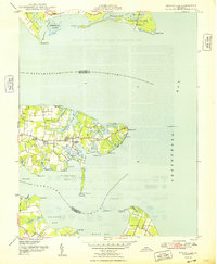
1948 · Deltaville
USGS Topo · 1:24,000
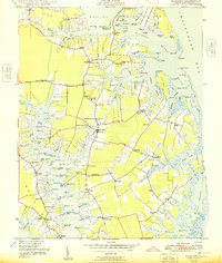
1948 · Mathews
USGS Topo · 1:24,000
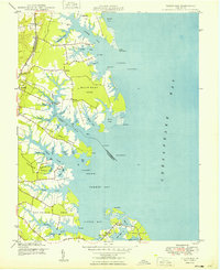
1949 · Fleets Bay
USGS Topo · 1:24,000
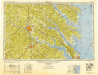
1949 · Richmond
USGS Topo · 1:250,000