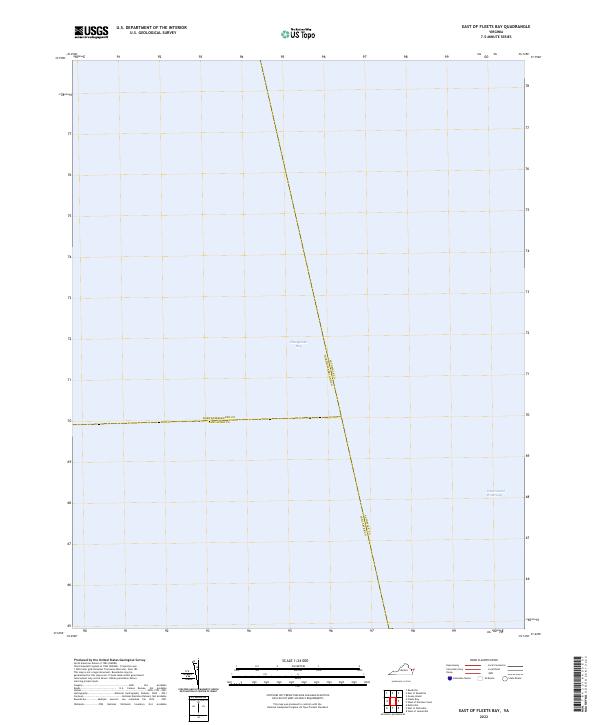
2022 Map of East of Fleets Bay
USGS Topo · Published 2022About this map
Chesapeake Bay dominates this open-water survey, showing the maritime boundaries where the Virginia Eastern Shore meets the Northern Neck. The map documents the convergence of three major coastal jurisdictions: Accomack Co, Northumberland Co, and Lancaster Co. This specific area of the bay is a critical maritime corridor, containing a segment of the Intracoastal Waterway used for sheltered navigation along the Atlantic coast. The lack of landmass highlights the importance of precise county line demarcations over the water, which are essential for fishing rights, law enforcement, and regional maritime administration in this portion of the Chesapeake.
Find a feature on this map
5 named features on this map. Tap any name to fly to it.
Don’t see what you’re looking for? This feature index may not catch every label — zoom into the map to look around manually.
Map Details
Editions of this 2022 East of Fleets Bay Map
This is the sole edition of this map. No revisions or reprints were ever made.
Other maps of this area

1916 · Kilmarnock
USGS Topo · 1:48,000

1917 · Heathsville
USGS Topo · 1:48,000

1917 · Kilmarnock
USGS Topo · 1:62,500

1917 · Ewell
USGS Topo · 1:62,500

1942 · Kilmarnock
USGS Topo · 1:62,500

1943 · Richmond
USGS Topo · 1:250,000

1944 · Reedville
USGS Topo · 1:31,680

1948 · Deltaville
USGS Topo · 1:24,000
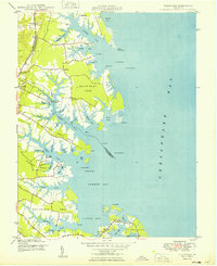
1949 · Fleets Bay
USGS Topo · 1:24,000

1949 · Richmond
USGS Topo · 1:250,000