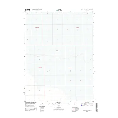
2014 Map of East of Goshute Wash
USGS Topo · Published 2014About this map
Great Salt Lake Desert dominates the landscape of this portion of Tooele County, illustrating the stark and expansive topography of western Utah. The terrain is characterized by broad, flat expanses defined by the Public Land Survey System, with township boundaries for t8s r16w, t8s r15w, t9s r16w, and t9s r15w providing the primary human-imposed structure on an otherwise open landscape. This 2014 survey captures the area's modern spatial organization, where the vastness of the salt flats remains largely uninterrupted by major infrastructure or settlements. The map's contour lines and hydrographic data reflect the subtle shifts in elevation across the desert floor, offering a precise look at the hydrology and land management boundaries of this unique arid region.
Find a feature on this map
5 named features on this map. Tap any name to fly to it.
Don’t see what you’re looking for? This feature index may not catch every label — zoom into the map to look around manually.
Map Details
Editions of this 2014 East of Goshute Wash Map
This is the sole edition of this map. No revisions or reprints were ever made.
Other maps of this area
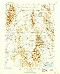
1908 · Fish Springs
USGS Topo · 1:250,000
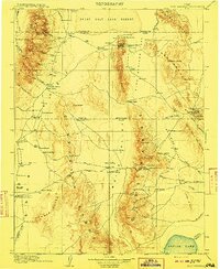
1910 · Fish Springs
USGS Topo · 1:250,000

1953 · Tooele
USGS Topo · 1:250,000

1953 · Delta
USGS Topo · 1:250,000

1955 · Tooele
USGS Topo · 1:250,000

1958 · Delta
USGS Topo · 1:250,000

1962 · Delta
USGS Topo · 1:250,000
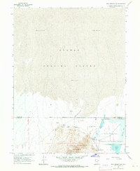
1967 · Fish Springs NW
USGS Topo · 1:24,000
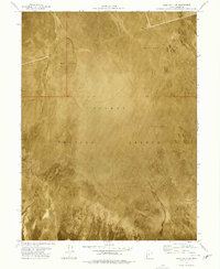
1973 · Gold Hill 4 SE
USGS Topo · 1:24,000
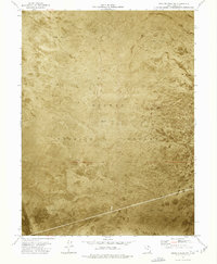
1973 · Granite Peak NW
USGS Topo · 1:24,000