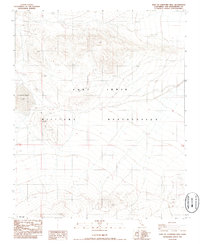
1986 Map of East of Langford Well
USGS Topo · Published 1986About this map
Fort Irwin Military Reservation dominates this 1980s landscape in the Mojave Desert, illustrating a region defined by federal land use and arid geography. The map provides a detailed view of the high desert terrain east of the prominent Langford Well Lake, a seasonal water feature that anchors the western edge of this quadrangle. The survey reveals a sparse network of unimproved roads and 4WD tracks that cross the military reservation boundary, connecting the basin floor with the surrounding high ground. This topographic record preserves the specific layout of training grounds and desert access routes during the mid-1980s, offering a clear view of the land before modern developments or changes in military infrastructure.
Find a feature on this map
4 named features on this map. Tap any name to fly to it.
Don’t see what you’re looking for? This feature index may not catch every label — zoom into the map to look around manually.
Map Details
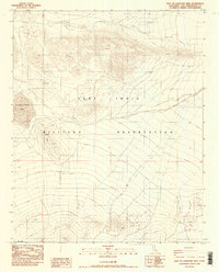
Editions of this 1986 East of Langford Well Map
2 editions found
Other maps of this area

1933 · Avawatz Mountains
USGS Topo · 1:250,000

1947 · Trona
USGS Topo · 1:250,000

1948 · Red Pass Lake
USGS Topo · 1:62,500

1948 · Trona
USGS Topo · 1:250,000

1948 · Alvord Mountain
USGS Topo · 1:62,500

1948 · Cave Mountain
USGS Topo · 1:62,500

1948 · Tiefort Mountains
USGS Topo · 1:62,500

1951 · Tiefort Mountains
USGS Topo · 1:62,500

1951 · Cave Mountain
USGS Topo · 1:62,500

1951 · Alvord Mountain
USGS Topo · 1:62,500