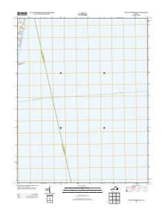
2013 Map of East of Reedville
USGS Topo · Published 2013About this map
Chesapeake Bay dominates this coastal landscape, capturing a maritime corridor defined by its transition from the shoreline to open water. Along the western edge, small residential and recreational pockets like Chesapeake Beach and Neals Beach front the bay, while Gaskin Pond and Rock Hole mark the indented shoreline just off Rte 802. This map provides a look at the ferry or transport route indicated by the Reedville - Tangier Island line, which serves as a vital historical and modern connection across the water between the Northern Neck and Tangier Island. The limited land area emphasizes the importance of these specific beach communities and the narrow coastal roads that sustain them.
Find a feature on this map
7 named features on this map. Tap any name to fly to it.
Don’t see what you’re looking for? This feature index may not catch every label — zoom into the map to look around manually.
Map Details
Editions of this 2013 East of Reedville Map
This is the sole edition of this map. No revisions or reprints were ever made.
Other maps of this area
1916 · Kilmarnock
USGS Topo · 1:48,000
1917 · Heathsville
USGS Topo · 1:48,000
1917 · Kilmarnock
USGS Topo · 1:62,500
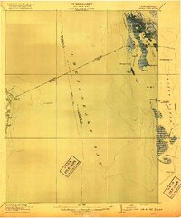
1917 · Ewell
USGS Topo · 1:62,500
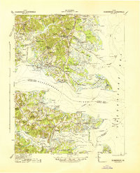
1942 · Kilmarnock
USGS Topo · 1:62,500
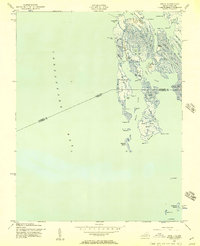
1942 · Ewell
USGS Topo · 1:24,000
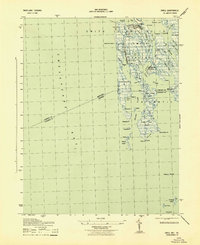
1943 · Ewell
USGS Topo · 1:31,680
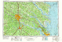
1943 · Richmond
USGS Topo · 1:250,000
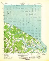
1944 · Sunnybank
USGS Topo · 1:31,680
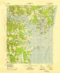
1944 · Reedville
USGS Topo · 1:31,680