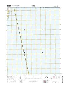
2016 Map of East of Reedville
USGS Topo · Published 2016About this map
Chesapeake Bay dominates this coastal survey, where the administrative boundary between Accomack Co and Northumberland Co angles across the open water. The landscape is primarily maritime, defined by the Intracoastal Waterway transit route. On the narrow strip of land in the northwest corner, small residential pockets such as Neals Beach and Chesapeake Beach appear along the shoreline. These coastal settlements are connected by Tranquility Rd, illustrating the limited terrestrial footprint in an area otherwise defined by significant hydrographic features and the vast expanse of the bay.
Find a feature on this map
6 named features on this map. Tap any name to fly to it.
Don’t see what you’re looking for? This feature index may not catch every label — zoom into the map to look around manually.
Map Details
Editions of this 2016 East of Reedville Map
This is the sole edition of this map. No revisions or reprints were ever made.
Other maps of this area
1916 · Kilmarnock
USGS Topo · 1:48,000
1917 · Heathsville
USGS Topo · 1:48,000
1917 · Kilmarnock
USGS Topo · 1:62,500
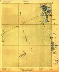
1917 · Ewell
USGS Topo · 1:62,500
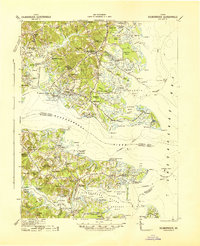
1942 · Kilmarnock
USGS Topo · 1:62,500
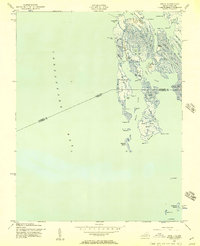
1942 · Ewell
USGS Topo · 1:24,000
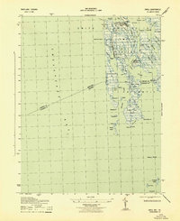
1943 · Ewell
USGS Topo · 1:31,680
1943 · Richmond
USGS Topo · 1:250,000
1944 · Sunnybank
USGS Topo · 1:31,680
1944 · Reedville
USGS Topo · 1:31,680