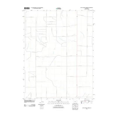
2010 Map of East of Rock Creek
USGS Topo · Published 2010About this map
The North Fork Smoky Hill River meanders through this high plains landscape of Cheyenne County, Colorado, carving a subtle drainage path across an otherwise structured agricultural grid. This 2010 survey illustrates the rigid section-line organization of the American West, where transit is defined by a dense network of gravel and dirt routes such as County Road E and County Road GG. The geography here is a study in rural land management, showing how the winding natural waterway of the North Fork Smoky Hill River intersects with the geometric precision of local infrastructure like County Rd 44 and County Road B. This specific quadrangle, located east of Rock Creek, captures the vast, open character of eastern Colorado at the start of the 21st century, focusing on the essential relationship between the sparse river system and the county road network that supports the region's ranching and farming operations.
Find a feature on this map
23 named features on this map. Tap any name to fly to it.
Don’t see what you’re looking for? This feature index may not catch every label — zoom into the map to look around manually.
Map Details
Editions of this 2010 East of Rock Creek Map
This is the sole edition of this map. No revisions or reprints were ever made.
Other maps of this area

1892 · Cheyenne Wells
USGS Topo · 1:125,000

1894 · Cheyenne Wells
USGS Topo · 1:125,000

1954 · Limon
USGS Topo · 1:250,000

1954 · Lamar
USGS Topo · 1:250,000

1957 · Limon
USGS Topo · 1:250,000

1958 · Limon
USGS Topo · 1:250,000

1958 · Lamar
USGS Topo · 1:250,000

1969 · Mount Sunflower SW
USGS Topo · 1:24,000

1969 · Burlington 3 SE
USGS Topo · 1:24,000

1969 · Mount Sunflower NW
USGS Topo · 1:24,000