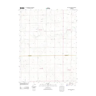
2013 Map of East of Rock Creek
USGS Topo · Published 2013About this map
The N Fork Smoky Hill River meanders across this high plains landscape, defining the local drainage and topography along the border of Kit Carson Co and Cheyenne Co. This 2013 survey illustrates a classic Western township and range system, where the terrain is neatly partitioned by an extensive network of secondary roads such as Co Road F, Co Road E, and Co Road B. Bisecting the eastern half of the map, Us-385 N serves as the primary north-south corridor through these rural lands. The lack of concentrated settlements or commercial hubs highlights the vast agricultural character of this portion of eastern Colorado, where the most significant landmarks are the river's path and the administrative lines of t011s r044w and surrounding sections.
Find a feature on this map
30 named features on this map. Tap any name to fly to it.
Don’t see what you’re looking for? This feature index may not catch every label — zoom into the map to look around manually.
Map Details
Editions of this 2013 East of Rock Creek Map
This is the sole edition of this map. No revisions or reprints were ever made.
Other maps of this area
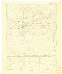
1892 · Cheyenne Wells
USGS Topo · 1:125,000
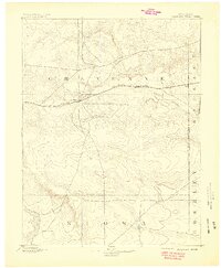
1894 · Cheyenne Wells
USGS Topo · 1:125,000

1954 · Limon
USGS Topo · 1:250,000

1954 · Lamar
USGS Topo · 1:250,000

1957 · Limon
USGS Topo · 1:250,000

1958 · Limon
USGS Topo · 1:250,000

1958 · Lamar
USGS Topo · 1:250,000
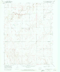
1969 · Mount Sunflower SW
USGS Topo · 1:24,000
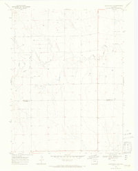
1969 · Burlington 3 SE
USGS Topo · 1:24,000
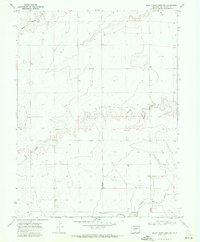
1969 · Mount Sunflower NW
USGS Topo · 1:24,000