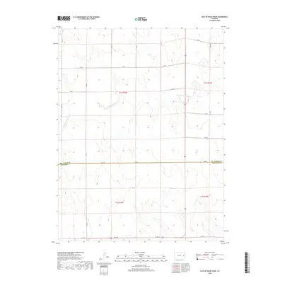
2019 Map of East of Rock Creek
USGS Topo · Published 2019About this map
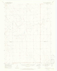
The N Fork Smoky Hill River meanders across this high plains landscape, defining the local hydrology and drainage patterns of the eastern Colorado steppe. This 2019 survey captures the interface of the Kit Carson Co and Cheyenne Co boundary, a region dominated by large-scale agricultural and ranching sections. The terrain is marked by a strict geometric grid of rural routes, including primary east-west corridors like Co Rd Gg and Co Rd Dd, intersected by north-south roads such as Co Rd 44. This network facilitates movement across the vast townships of t11s r44w and t12s r43w, reflecting the enduring Public Land Survey System structure that organizes this section of the Great Plains.
Find a feature on this map
20 named features on this map. Tap any name to fly to it.
Don’t see what you’re looking for? This feature index may not catch every label — zoom into the map to look around manually.
Map Details
Editions of this 2019 East of Rock Creek Map
This is the sole edition of this map. No revisions or reprints were ever made.
Other maps of this area
1892 · Cheyenne Wells
USGS Topo · 1:125,000
1894 · Cheyenne Wells
USGS Topo · 1:125,000

1954 · Limon
USGS Topo · 1:250,000

1954 · Lamar
USGS Topo · 1:250,000

1957 · Limon
USGS Topo · 1:250,000

1958 · Limon
USGS Topo · 1:250,000

1958 · Lamar
USGS Topo · 1:250,000
1969 · Mount Sunflower SW
USGS Topo · 1:24,000
1969 · Burlington 3 SE
USGS Topo · 1:24,000
1969 · Mount Sunflower NW
USGS Topo · 1:24,000