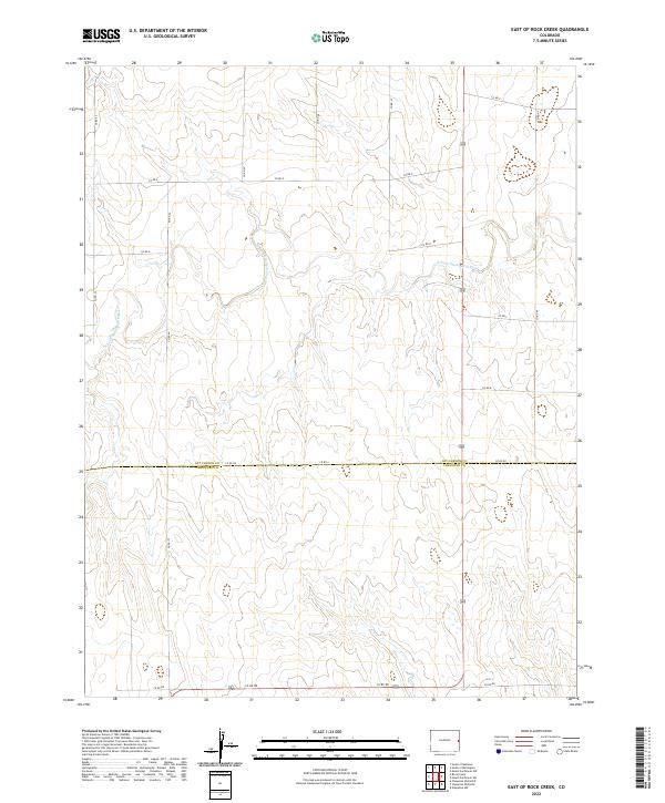
2022 Map of East of Rock Creek
USGS Topo · Published 2022About this map
The N Fork Smoky Hill River meanders across the High Plains of eastern Colorado, carving a distinct drainage pattern through the sections of t11s r44w and t11s r43w. This 2022 survey captures the expansive rural landscape defined by the county line between Kit Carson Co and Cheyenne Co. The terrain is marked by a systematic grid of section lines and gravel paths like Co Rd Gg and Co Rd A, which navigate the subtle draws and rises characteristic of this prairie environment. The map provides a contemporary record of land divisions and watercourses in a region where the vastness of the geography is only punctuated by these essential transport routes, such as Co Rd Dd at the southern boundary. It serves as a clear baseline for understanding modern land use and drainage in this remote portion of the state.
Find a feature on this map
20 named features on this map. Tap any name to fly to it.
Don’t see what you’re looking for? This feature index may not catch every label — zoom into the map to look around manually.
Map Details
Editions of this 2022 East of Rock Creek Map
This is the sole edition of this map. No revisions or reprints were ever made.
Other maps of this area

1892 · Cheyenne Wells
USGS Topo · 1:125,000

1894 · Cheyenne Wells
USGS Topo · 1:125,000

1954 · Limon
USGS Topo · 1:250,000

1954 · Lamar
USGS Topo · 1:250,000

1957 · Limon
USGS Topo · 1:250,000

1958 · Limon
USGS Topo · 1:250,000

1958 · Lamar
USGS Topo · 1:250,000

1969 · Mount Sunflower SW
USGS Topo · 1:24,000

1969 · Burlington 3 SE
USGS Topo · 1:24,000

1969 · Mount Sunflower NW
USGS Topo · 1:24,000