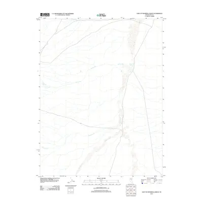
2012 Map of East of Snowball Ranch
USGS Topo · Published 2012About this map
Willow Creek Spring anchors the northeastern corner of this drainage-rich portion of Nye County, where the desert landscape is defined by its intermittent water systems. The map illustrates a complex network of seasonal flows, notably the extensive Willow Creek Wash and the distinct path of Big Fault Wash, which reveals the underlying geomorphology of the Great Basin region. These dry beds and washes, alongside named drainages like Snowball Creek and Cottonwood Creek, provide critical context for early ranching and mining routes that relied on these specific, often scarce, water sources. The convergence of these features east of the Snowball Ranch area highlights the hydrological patterns that shaped the settlement and exploration of this arid Nevada interior during the late 20th and early 21st centuries.
Find a feature on this map
6 named features on this map. Tap any name to fly to it.
Don’t see what you’re looking for? This feature index may not catch every label — zoom into the map to look around manually.
Map Details
Editions of this 2012 East of Snowball Ranch Map
This is the sole edition of this map. No revisions or reprints were ever made.
Other maps of this area
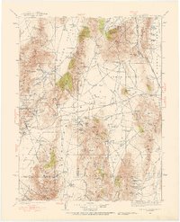
1926 · Roberts Mountains
USGS Topo · 1:250,000
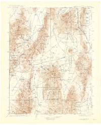
1929 · Roberts Mountains
USGS Topo · 1:250,000

1955 · Millett
USGS Topo · 1:250,000
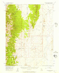
1956 · Cockalorum Wash
USGS Topo · 1:62,500

1956 · Lund
USGS Topo · 1:250,000

1956 · Ely
USGS Topo · 1:250,000

1956 · Tonopah
USGS Topo · 1:250,000

1959 · Ely
USGS Topo · 1:250,000

1959 · Tonopah
USGS Topo · 1:250,000

1959 · Millett
USGS Topo · 1:250,000