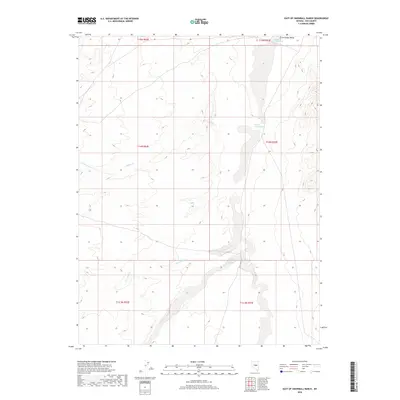
2018 Map of East of Snowball Ranch
USGS Topo · Published 2018About this map
Little Smoky Valley dominates this high-altitude landscape in central Nevada, where the drainage patterns of the Great Basin are clearly defined. This arid region is marked by ephemeral waterways and essential water sources, most notably Willow Creek Spring located in the northeast corner. The map traces the intermittent paths of Snowball Creek and Willow Cr as they descend toward the basin floor. An interesting geological feature is Big Fault Wash, which cuts across the southern terrain, illustrating the active tectonic history of the area. This topographic study captures the precise township and range boundaries that grid the remote basin-and-range country, providing a clear picture of the hydrological network in an environment where every spring and wash was critical for early ranching and travel through Nye County.
Find a feature on this map
14 named features on this map. Tap any name to fly to it.
Don’t see what you’re looking for? This feature index may not catch every label — zoom into the map to look around manually.
Map Details
Editions of this 2018 East of Snowball Ranch Map
This is the sole edition of this map. No revisions or reprints were ever made.
Other maps of this area
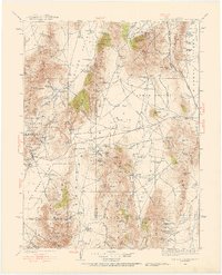
1926 · Roberts Mountains
USGS Topo · 1:250,000
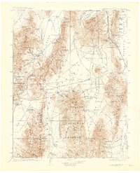
1929 · Roberts Mountains
USGS Topo · 1:250,000

1955 · Millett
USGS Topo · 1:250,000
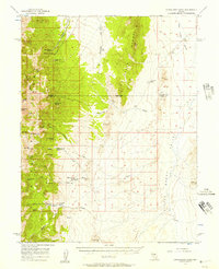
1956 · Cockalorum Wash
USGS Topo · 1:62,500

1956 · Lund
USGS Topo · 1:250,000

1956 · Ely
USGS Topo · 1:250,000

1956 · Tonopah
USGS Topo · 1:250,000

1959 · Ely
USGS Topo · 1:250,000

1959 · Tonopah
USGS Topo · 1:250,000

1959 · Millett
USGS Topo · 1:250,000