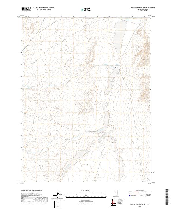
2021 Map of East of Snowball Ranch
USGS Topo · Published 2021About this map
Little Smoky Valley serves as the dominant landform in this portion of Nye County, where the desert floor is defined by a series of intermittent watercourses and alluvial features. The drainage network is characterized by the presence of Snowball Creek and Big Fault Wash, illustrating the complex hydrological and geological patterns of the central Nevada basin. Smaller tributaries such as Cottonwood Cr and Willow Cr descend from the surrounding high ground toward the valley floor, terminating in the broad Willow Creek Wash. At the northern edge of the sheet, the Willow Creek Spring provides a vital point of reference in an otherwise arid landscape. This 2021 update to the quadrangle maintains the precise Public Land Survey System boundaries, tracing the township and range lines that have organized these open rangelands for over a century.
Find a feature on this map
15 named features on this map. Tap any name to fly to it.
Don’t see what you’re looking for? This feature index may not catch every label — zoom into the map to look around manually.
Map Details
Editions of this 2021 East of Snowball Ranch Map
This is the sole edition of this map. No revisions or reprints were ever made.
Other maps of this area

1926 · Roberts Mountains
USGS Topo · 1:250,000

1929 · Roberts Mountains
USGS Topo · 1:250,000

1955 · Millett
USGS Topo · 1:250,000

1956 · Cockalorum Wash
USGS Topo · 1:62,500

1956 · Lund
USGS Topo · 1:250,000

1956 · Ely
USGS Topo · 1:250,000

1956 · Tonopah
USGS Topo · 1:250,000

1959 · Ely
USGS Topo · 1:250,000

1959 · Tonopah
USGS Topo · 1:250,000

1959 · Millett
USGS Topo · 1:250,000