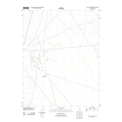
2012 Map of East of Tonopah
USGS Topo · Published 2012About this map
Tonopah Airport serves as the primary landmark in this corner of Nye County, reflecting the aviation infrastructure supporting the Great Basin region during the early 21st century. The map detail focuses on the grid of support roads surrounding the airfield, including Airport Rd and residential or service thoroughfares such as Airway Dr, Donnels Dr, and Scott Dr. This area east of the main town site is characterized by open desert terrain and the sparse, functional layout of transportation routes. The geometric precision of the airport runways and the radiating road network contrast with the drainage patterns of the dry desert washes that crisscross the surrounding landscape, providing a clear record of modern development and land use in this part of Nevada.
Find a feature on this map
6 named features on this map. Tap any name to fly to it.
Don’t see what you’re looking for? This feature index may not catch every label — zoom into the map to look around manually.
Map Details
Editions of this 2012 East of Tonopah Map
This is the sole edition of this map. No revisions or reprints were ever made.
Other maps of this area

1907 · Tonopah
USGS Topo · 1:250,000

1908 · Kawich
USGS Topo · 1:250,000

1908 · Lida
USGS Topo · 1:250,000

1908 · Tonopah
USGS Topo · 1:250,000

1913 · Lida
USGS Topo · 1:250,000

1942 · Cactus Range
USGS Topo · 1:125,000

1945 · Goldfield
USGS Topo · 1:125,000

1952 · Mud Lake
USGS Topo · 1:62,500

1952 · Cactus Peak
USGS Topo · 1:62,500

1954 · Goldfield
USGS Topo · 1:250,000