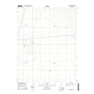
2015 Map of East of Tonopah
USGS Topo · Published 2015About this map
The Tonopah Airport serves as the primary landmark for this section of Nye County, surrounded by a network of roads that reflect its aviation and regional significance. Street names like Airway Dr, Liberator Dr, and Mustang Dr point to the area's aeronautical character, while Tonopah Speedway Rd suggests local recreational activities. This landscape is defined by the open expanse of the Ralston Desert, which stretches across the southern portion of the map. The geography is systematically divided by township and range lines, including t3n r43e and t2n r44e, providing a clear view of how this arid Nevada territory is organized for land management and surveying.
Find a feature on this map
14 named features on this map. Tap any name to fly to it.
Don’t see what you’re looking for? This feature index may not catch every label — zoom into the map to look around manually.
Map Details
Editions of this 2015 East of Tonopah Map
This is the sole edition of this map. No revisions or reprints were ever made.
Other maps of this area

1907 · Tonopah
USGS Topo · 1:250,000

1908 · Kawich
USGS Topo · 1:250,000

1908 · Lida
USGS Topo · 1:250,000

1908 · Tonopah
USGS Topo · 1:250,000

1913 · Lida
USGS Topo · 1:250,000

1942 · Cactus Range
USGS Topo · 1:125,000

1945 · Goldfield
USGS Topo · 1:125,000

1952 · Mud Lake
USGS Topo · 1:62,500

1952 · Cactus Peak
USGS Topo · 1:62,500

1954 · Goldfield
USGS Topo · 1:250,000