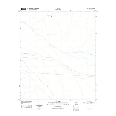
2011 Map of East Pass
USGS Topo · Published 2011About this map
East Pass and its surrounding desert terrain define this corner of Maricopa County. The landscape is primarily shaped by the drainage patterns of Tenmile Wash, which snakes through the central and northwestern portions of the map. This 2011 survey captures the area in its modern state, emphasizing the natural topography and the intermittent watercourses that characterize this arid region. With only a few primary roads and 4WD tracks crossing the surface, the map provides a clear picture of the remote desert geography and the natural corridors created by seasonal washes.
Find a feature on this map
2 named features on this map. Tap any name to fly to it.
Don’t see what you’re looking for? This feature index may not catch every label — zoom into the map to look around manually.
Map Details
Editions of this 2011 East Pass Map
This is the sole edition of this map. No revisions or reprints were ever made.
Other maps of this area
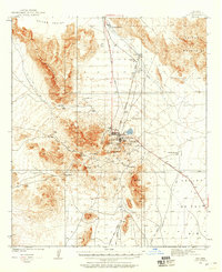
1932 · Ajo
USGS Topo · 1:62,500
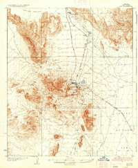
1934 · Ajo
USGS Topo · 1:62,500

1953 · Ajo
USGS Topo · 1:250,000

1957 · Ajo
USGS Topo · 1:250,000

1958 · Ajo
USGS Topo · 1:250,000
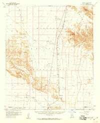
1958 · Midway
USGS Topo · 1:62,500

1962 · Ajo
USGS Topo · 1:250,000

1963 · Ajo
USGS Topo · 1:250,000
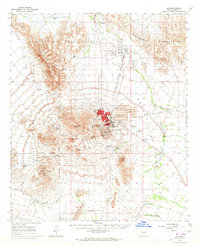
1963 · Ajo
USGS Topo · 1:62,500
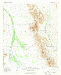
1964 · Growler Peak
USGS Topo · 1:62,500