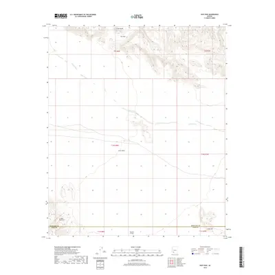
2018 Map of East Pass
USGS Topo · Published 2018About this map
The Crater Range and East Pass dominate the northern landscape of this Sonoran desert region at the boundary of Maricopa and Pima counties. This arid expanse is defined by large-scale drainage patterns like Tenmile Wash, which cuts across the central flats toward the southern highlands. South of Childs Valley, the terrain ascends into the Growler Mountains and the volcanic slopes of Childs Mtn. Mapping by the U.S. Geological Survey underscores the area's isolation, showing a place where natural landforms and ephemeral watercourses like Daniels Arroyo dictate the human footprint. The map captures a moment in the modern era when this borderland remained largely defined by its topography rather than dense settlement.
Find a feature on this map
14 named features on this map. Tap any name to fly to it.
Don’t see what you’re looking for? This feature index may not catch every label — zoom into the map to look around manually.
Map Details
Editions of this 2018 East Pass Map
This is the sole edition of this map. No revisions or reprints were ever made.
Other maps of this area
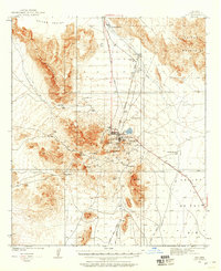
1932 · Ajo
USGS Topo · 1:62,500
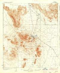
1934 · Ajo
USGS Topo · 1:62,500

1953 · Ajo
USGS Topo · 1:250,000

1957 · Ajo
USGS Topo · 1:250,000

1958 · Ajo
USGS Topo · 1:250,000
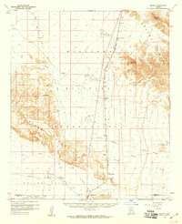
1958 · Midway
USGS Topo · 1:62,500

1962 · Ajo
USGS Topo · 1:250,000

1963 · Ajo
USGS Topo · 1:250,000
1963 · Ajo
USGS Topo · 1:62,500
1964 · Growler Peak
USGS Topo · 1:62,500