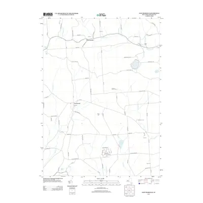
2013 Map of East Pharsalia
USGS Topo · Published 2013About this map
North Pharsalia and East Pharsalia anchor this portion of Chenango County, where rural life is defined by the winding paths of Canasawacta Cr and Genegantslet Cr. The landscape is a network of small settlements and family-named roads, such as Rollie Brown Rd and Elmer Jackson Rd, indicating long-standing local ties. For genealogists, the map is particularly rich with small burial grounds including Kirk Cem, Frink Cem, and the E Pharsalia Cem.
Find a feature on this map
81 named features on this map. Tap any name to fly to it.
Don’t see what you’re looking for? This feature index may not catch every label — zoom into the map to look around manually.
Map Details
Editions of this 2013 East Pharsalia Map
This is the sole edition of this map. No revisions or reprints were ever made.
Other maps of this area

1902 · Coventry
USGS Topo · 1:62,500

1903 · Norwich
USGS Topo · 1:62,500

1904 · Greene
USGS Topo · 1:62,500

1904 · Oxford
USGS Topo · 1:62,500

1904 · Pitcher
USGS Topo · 1:62,500

1943 · Otselic
USGS Topo · 1:24,000

1943 · South Ostelic
USGS Topo · 1:24,000

1943 · Norwich
USGS Topo · 1:24,000

1943 · East Pharsalia
USGS Topo · 1:24,000
1943 · Earlville
USGS Topo · 1:24,000