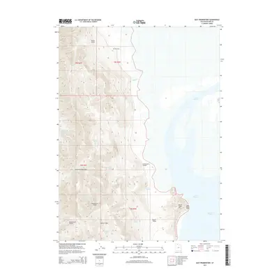
2014 Map of East Promontory
USGS Topo · Published 2014About this map
The Promontory Mountains dominate this landscape where the high desert meets the northern reaches of the Great Salt Lake. This eastern slope of the peninsula is defined by a series of steep drainages, including Messix Canyon and Chokecherry Canyon, which fall toward the alkaline shoreline. The proximity to the water is most evident at Bear River Bay and the prominent Black Rocky Point. Throughout this arid environment, a network of isolated water sources like Sweetwater Spring, Owen Spring, and Wild Horse Spring historically dictated movement and land use. The presence of Boothe Valley and Miller Canyon further illustrates the complex topographical relief between the mountain peaks and the lake level, providing a detailed view of the remote geography of Box Elder County.
Find a feature on this map
24 named features on this map. Tap any name to fly to it.
Don’t see what you’re looking for? This feature index may not catch every label — zoom into the map to look around manually.
Map Details
Editions of this 2014 East Promontory Map
This is the sole edition of this map. No revisions or reprints were ever made.
Other maps of this area
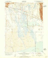
1954 · Public Shooting Grounds
USGS Topo · 1:24,000

1954 · Brigham City
USGS Topo · 1:250,000
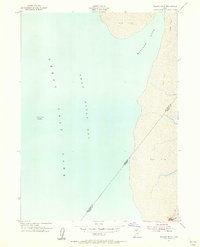
1955 · Willard Spur
USGS Topo · 1:24,000
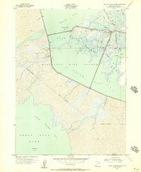
1955 · Mouth of Bear River
USGS Topo · 1:24,000

1958 · Brigham City
USGS Topo · 1:250,000
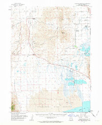
1961 · Thatcher Mountain
USGS Topo · 1:62,500

1962 · Brigham City
USGS Topo · 1:250,000
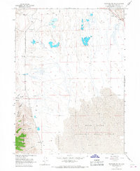
1966 · Thatcher Mountain SW
USGS Topo · 1:24,000
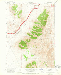
1967 · Golden Spike Monument
USGS Topo · 1:24,000
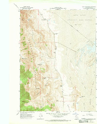
1967 · East Promontory
USGS Topo · 1:24,000