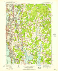
1949 Map of East Providence
USGS Topo · Published 1957About this map
Industrial and recreational life along the Providence River is vividly detailed in this mid-century look at the Massachusetts-Rhode Island border. The landscape is defined by its water access, from the developed waterfront at Riverside and Phillipsdale to the tidal reaches of Hundred Acre Cove. Notable for sports historians, the sheet features the Narragansett Race Track and McCoy Stadium, while maritime interests are represented by the Pomham Rock LH standing watch in the river.
Find a feature on this map
123 named features on this map. Tap any name to fly to it.
Don’t see what you’re looking for? This feature index may not catch every label — zoom into the map to look around manually.
Map Details
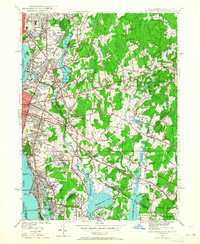
Editions of this 1949 East Providence Map
2 editions found
Other maps of this area

1885 · Taunton
USGS Topo · 1:62,500

1887 · Providence
USGS Topo · 1:62,500

1888 · Fall River
USGS Topo · 1:62,500

1888 · Taunton
USGS Topo · 1:62,500

1889 · Providence
USGS Topo · 1:62,500

1890 · Narragansett Bay
USGS Topo · 1:62,500

1892 · Narragansett Bay
USGS Topo · 1:62,500

1893 · Taunton
USGS Topo · 1:62,500

1893 · Fall River
USGS Topo · 1:62,500

1894 · Providence
USGS Topo · 1:62,500