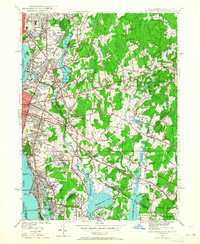
1949 Map of East Providence
USGS Topo · Published 1964About this map
East Providence and the surrounding borderlands of Rhode Island and Massachusetts appear here in a post-war landscape of rapid suburbanization and industrial density. The shoreline along the Providence River and Seekonk River is heavily developed, featuring landmarks such as the Pomham Rock Lh and the leisure grounds of Crescent Park. Further inland, the map captures the extensive grounds of the Narragansett Race Track and the newly built McCoy Stadium, signaling the region's mid-century role as a center for sports and recreation.
Find a feature on this map
114 named features on this map. Tap any name to fly to it.
Don’t see what you’re looking for? This feature index may not catch every label — zoom into the map to look around manually.
Map Details
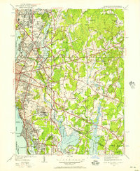
Editions of this 1949 East Providence Map
2 editions found
Other maps of this area

1885 · Taunton
USGS Topo · 1:62,500

1887 · Providence
USGS Topo · 1:62,500

1888 · Fall River
USGS Topo · 1:62,500

1888 · Taunton
USGS Topo · 1:62,500

1889 · Providence
USGS Topo · 1:62,500

1890 · Narragansett Bay
USGS Topo · 1:62,500

1892 · Narragansett Bay
USGS Topo · 1:62,500

1893 · Taunton
USGS Topo · 1:62,500

1893 · Fall River
USGS Topo · 1:62,500

1894 · Providence
USGS Topo · 1:62,500