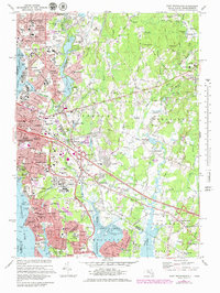
1971 Map of East Providence
USGS Topo · Published 1979About this map
The Seekonk River and Ten Mile River define a landscape transitioning between the urban density of Pawtucket and the expanding suburbs of East Providence and Seekonk during the early 1970s. This survey records a mid-century infrastructure peak, capturing the Narragansett Race Track and the Seekonk Speedway alongside established institutions like Barrington College. Local landmarks range from the athletic grounds of McCoy Stadium to the industrial utility of the Filtration Plant near East Providence Center.
Find a feature on this map
101 named features on this map. Tap any name to fly to it.
Don’t see what you’re looking for? This feature index may not catch every label — zoom into the map to look around manually.
Map Details
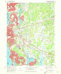
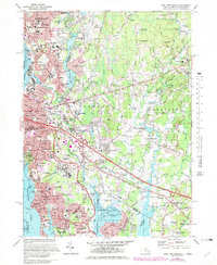
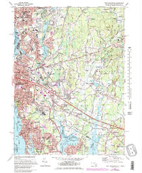
Editions of this 1971 East Providence Map
4 editions found
Other maps of this area

1885 · Taunton
USGS Topo · 1:62,500

1887 · Providence
USGS Topo · 1:62,500

1888 · Fall River
USGS Topo · 1:62,500

1888 · Taunton
USGS Topo · 1:62,500

1889 · Providence
USGS Topo · 1:62,500

1890 · Narragansett Bay
USGS Topo · 1:62,500

1892 · Narragansett Bay
USGS Topo · 1:62,500

1893 · Taunton
USGS Topo · 1:62,500

1893 · Fall River
USGS Topo · 1:62,500

1894 · Providence
USGS Topo · 1:62,500