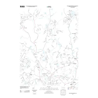
2013 Map of East Stroudsburg
USGS Topo · Published 2013About this map
Brodhead Cr and its tributaries define the hydrology of this Monroe County landscape, feeding into established communities like Analomink and Gravel Place. The geography reflects a blend of residential growth and recreational land use typical of the Poconos in the early 21st century. Significant leisure developments are visible, ranging from the Alpine Mountain Ski Area in the northwest to the Evergreen Park Golf Course and several organized camps.
Find a feature on this map
306 named features on this map. Tap any name to fly to it.
Don’t see what you’re looking for? This feature index may not catch every label — zoom into the map to look around manually.
Map Details
Editions of this 2013 East Stroudsburg Map
This is the sole edition of this map. No revisions or reprints were ever made.
Other maps of this area

1891 · Delaware Water Gap
USGS Topo · 1:62,500

1893 · Delaware Water Gap
USGS Topo · 1:62,500

1914 · Wind Gap
USGS Topo · 1:62,500

1916 · Wind Gap
USGS Topo · 1:62,500

1919 · Pocono
USGS Topo · 1:62,500

1921 · Pocono
USGS Topo · 1:62,500

1923 · Pocono
USGS Topo · 1:62,500

1924 · Bushkill
USGS Topo · 1:48,000

1936 · Delaware Water Gap
USGS Topo · 1:48,000

1941 · Delaware Water Gap
USGS Topo · 1:62,500
Featured Places
- Middle Smithfield Township, PA
- Price Township, PA
- Henryville, Paradise Township
- Marshalls Creek, Smithfield Township
- Twin Falls, Smithfield Township