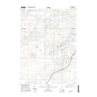
2016 Map of East Troy
USGS Topo · Published 2016About this map
The Mukwonago River and its numerous glacial kettle lakes define this region of Waukesha and Walworth counties. This 2016 survey highlights a landscape where water and recreation dominate the geography, centered on substantial bodies like Eagle Spring Lake, Lake Beulah, and Pickerel Lake. The village of East Troy serves as a primary hub, adjacent to the East Troy Municipal Airport, while smaller settlements such as Troy Center and Eagleville maintain a more rural character. For local historians, the map preserves the locations of several burial grounds including Saint Peters Cem and Evergreen Cem. The environmental significance of the area is noted through the Lulu Lake State Natural Area, which protects the wetlands and transition zones between Lulu Lake and the river system.
Find a feature on this map
137 named features on this map. Tap any name to fly to it.
Don’t see what you’re looking for? This feature index may not catch every label — zoom into the map to look around manually.
Map Details
Editions of this 2016 East Troy Map
This is the sole edition of this map. No revisions or reprints were ever made.
Other maps of this area

1892 · Whitewater
USGS Topo · 1:62,500

1892 · Eagle
USGS Topo · 1:62,500

1893 · Delavan
USGS Topo · 1:62,500

1893 · Whitewater
USGS Topo · 1:62,500

1893 · Geneva
USGS Topo · 1:62,500

1894 · Eagle
USGS Topo · 1:62,500

1897 · Eagle
USGS Topo · 1:62,500

1903 · Whitewater
USGS Topo · 1:62,500

1904 · Lake Geneva
USGS Topo · 1:62,500

1906 · Eagle
USGS Topo · 1:62,500