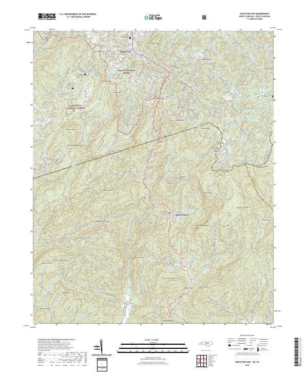
2022 Map of Eastatoe Gap
USGS Topo · Published 2022About this map
The Blue Ridge mountains dominate this borderland where North Carolina and South Carolina meet, a landscape defined by sharp elevation changes and high-altitude water sources. Small settlements like Middle Fork and Rocky Bottom serve as the primary human touchpoints in a region largely sheltered by the Pisgah National Forest and Nantahala National Forest. The map illustrates the headwaters of several critical drainage systems, including the E Fork French Broad River and the Oolenoy River, which flow from prominent gaps like Eastatoe Gap and Folly Gap.
Find a feature on this map
156 named features on this map. Tap any name to fly to it.
Don’t see what you’re looking for? This feature index may not catch every label — zoom into the map to look around manually.
Map Details
Editions of this 2022 Eastatoe Gap Map
This is the sole edition of this map. No revisions or reprints were ever made.
Other maps of this area

1888 · Pickens
USGS Topo · 1:125,000

1894 · Pickens
USGS Topo · 1:125,000

1905 · Pisgah
USGS Topo · 1:125,000

1906 · Pisgah
USGS Topo · 1:125,000

1935 · Brevard
USGS Topo · 1:24,000

1935 · Eastatoe Gap
USGS Topo · 1:24,000

1935 · Rosman
USGS Topo · 1:24,000

1935 · Lake Toxaway
USGS Topo · 1:24,000

1935 · Reid
USGS Topo · 1:24,000

1935 · Table Rock
USGS Topo · 1:24,000