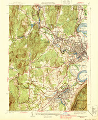
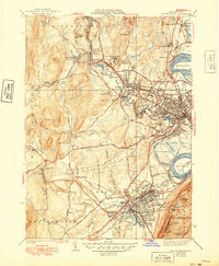
1939 Map of Easthampton
USGS Topo · Published 1939About this map
Easthampton and Northampton serve as the primary industrial and civic hubs in this late 1930s landscape, where the Manhan River and Mill River carve through the valley floor. The map captures a high density of institutional history, from the U S Veterans Hospital and the County Sanatorium to the extensive State Hospital grounds. Transportation is dominated by the intersecting routes of the Boston and Maine and New York New Haven and Hartford railroads, which facilitated the growth of local industries near Lower Mill Pond and Nashawannuck Pond.
Find a feature on this map
80 named features on this map. Tap any name to fly to it.
Don’t see what you’re looking for? This feature index may not catch every label — zoom into the map to look around manually.
Map Details
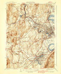
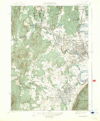
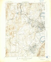
Editions of this 1939 Easthampton Map
5 editions found
Other maps of this area

1885 · Northampton
USGS Topo · 1:62,500

1886 · Springfield
USGS Topo · 1:62,500

1886 · Chesterfield
USGS Topo · 1:62,500

1886 · Northampton
USGS Topo · 1:62,500

1887 · Granville
USGS Topo · 1:62,500

1888 · Chesterfield
USGS Topo · 1:62,500

1889 · Springfield
USGS Topo · 1:62,500

1889 · Granville
USGS Topo · 1:62,500

1891 · Northampton
USGS Topo · 1:62,500

1893 · Northampton
USGS Topo · 1:62,500