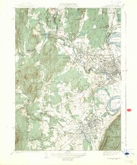
1939 Map of Easthampton
USGS Topo · Published 1939About this map
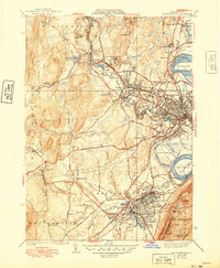
The Manhan River and Mill River carve through this landscape during the late 1930s, anchoring the industrial and institutional centers of Easthampton and Northampton. The map illustrates a complex network of social infrastructure, from the sprawling grounds of Smith College and the State Hospital to specialized facilities like the County Sanatorium and the U S Veterans Hospital. Dense settlement patterns in Florence and Bay State contrast with the rural reaches of West Farms and the rugged elevations of the Mineral Hills to the west.
Find a feature on this map
75 named features on this map. Tap any name to fly to it.
Don’t see what you’re looking for? This feature index may not catch every label — zoom into the map to look around manually.
Map Details
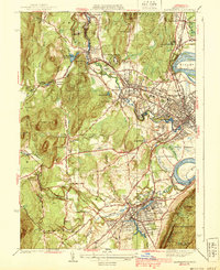
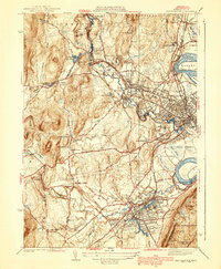
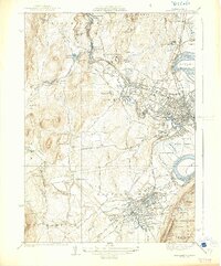
Editions of this 1939 Easthampton Map
5 editions found
Other maps of this area

1885 · Northampton
USGS Topo · 1:62,500

1886 · Springfield
USGS Topo · 1:62,500

1886 · Chesterfield
USGS Topo · 1:62,500

1886 · Northampton
USGS Topo · 1:62,500

1887 · Granville
USGS Topo · 1:62,500

1888 · Chesterfield
USGS Topo · 1:62,500

1889 · Springfield
USGS Topo · 1:62,500

1889 · Granville
USGS Topo · 1:62,500

1891 · Northampton
USGS Topo · 1:62,500

1893 · Northampton
USGS Topo · 1:62,500