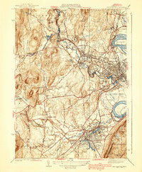
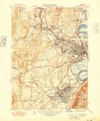
1939 Map of Easthampton
USGS Topo · Published 1939About this map
Northampton and Easthampton anchor this 1930s landscape, where the Connecticut River forms the striking Oxbow and flows past the Manhan Meadows. The map reveals a densely organized network of institutional and educational landmarks, including the campus of Smith College, the U S Veterans Hospital, and the sprawling grounds of the State Hospital. The river-driven economy is evident in the numerous reservoirs and brooks, such as the Northampton Reservoir and Roberts Meadow Reservoir, which supported the region's industrial and domestic needs before modern development altered the waterway's role.
Find a feature on this map
86 named features on this map. Tap any name to fly to it.
Don’t see what you’re looking for? This feature index may not catch every label — zoom into the map to look around manually.
Map Details
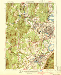
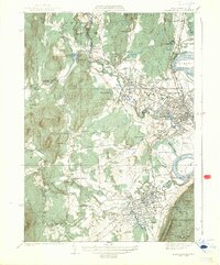
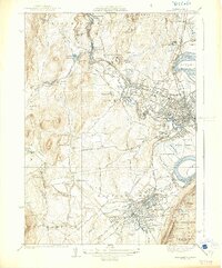
Editions of this 1939 Easthampton Map
5 editions found
Other maps of this area

1885 · Northampton
USGS Topo · 1:62,500

1886 · Springfield
USGS Topo · 1:62,500

1886 · Chesterfield
USGS Topo · 1:62,500

1886 · Northampton
USGS Topo · 1:62,500

1887 · Granville
USGS Topo · 1:62,500

1888 · Chesterfield
USGS Topo · 1:62,500

1889 · Springfield
USGS Topo · 1:62,500

1889 · Granville
USGS Topo · 1:62,500

1891 · Northampton
USGS Topo · 1:62,500

1893 · Northampton
USGS Topo · 1:62,500