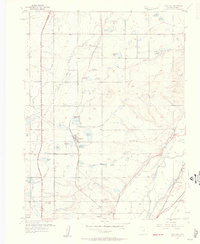
1957 Map of Eastlake
USGS Topo · Published 1958About this map
Water management and transportation define this mid-century landscape in Adams County, where the South Platte River and its accompanying irrigation infrastructure support agricultural development. A complex network of reservoirs, including the Wadley Res No 1, Eastlake Res No 3, and Smith Reservoir, illustrates the intensive engineering required for farming in the semi-arid region. The settlement of Eastlake serves as a local hub along the Union Pacific railroad, while modern infrastructure like the Valley Highway and the Denver-Boulder Turnpike signals the suburban growth of the late 1950s. Genealogists and local historians can locate early burial grounds such as Wesley Cem and Highland Memory Gardens, as well as rural school sites like Brantner Sch and Riverdale Sch that anchored these farming communities before further expansion.
Find a feature on this map
36 named features on this map. Tap any name to fly to it.
Don’t see what you’re looking for? This feature index may not catch every label — zoom into the map to look around manually.
Map Details
Editions of this 1957 Eastlake Map
2 editions found
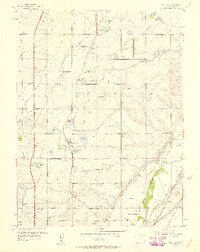
Other maps of this area

1890 · East Denver
USGS Topo · 1:125,000

1899 · West Denver
USGS Topo · 1:125,000

1902 · Greeley
USGS Topo · 1:125,000

1904 · Niwot
USGS Topo · 1:62,500

1938 · Derby
USGS Topo · 1:24,000

1938 · Long Branch
USGS Topo · 1:24,000

1940 · Brighton
USGS Topo · 1:31,680

1940 · Eastlake
USGS Topo · 1:31,680

1940 · Lafayette
USGS Topo · 1:31,680

1940 · Derby
USGS Topo · 1:31,680