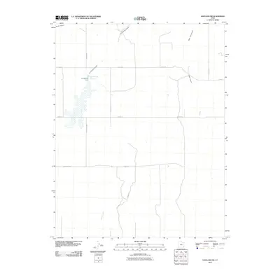
2010 Map of Eastland NW
USGS Topo · Published 2010About this map
Iron Springs Reservoir and its associated Iron Springs Dam form a central hydrological focus within this high-desert landscape in San Juan County. The terrain is characterized by a series of significant drainage systems and flatlands, including the broad North Long Draw and the expansive Hickman Flt. Water management and accessibility are evidenced by the presence of Peter S Spg and the winding course of Boulder Creek to the south.
Find a feature on this map
16 named features on this map. Tap any name to fly to it.
Don’t see what you’re looking for? This feature index may not catch every label — zoom into the map to look around manually.
Map Details
Editions of this 2010 Eastland NW Map
This is the sole edition of this map. No revisions or reprints were ever made.
Other maps of this area
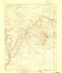
1885 · La Sal
USGS Topo · 1:250,000
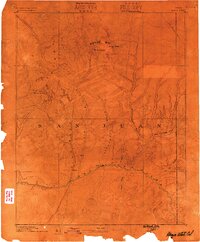
1886 · Abajo
USGS Topo · 1:250,000
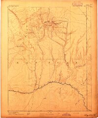
1892 · Abajo
USGS Topo · 1:250,000
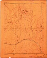
1893 · Abajo
USGS Topo · 1:250,000
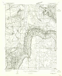
1954 · Mt Peale 3 SE
USGS Topo · 1:24,000
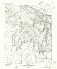
1954 · Mt Peale 4 SE
USGS Topo · 1:24,000
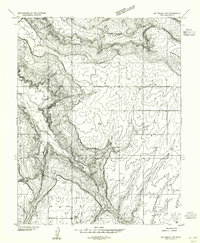
1954 · Mt Peale 4 SW
USGS Topo · 1:24,000
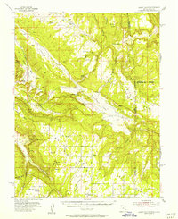
1954 · Lisbon Valley
USGS Topo · 1:62,500
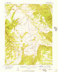
1954 · Hatch Rock
USGS Topo · 1:62,500
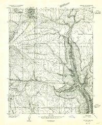
1955 · Verdure 2 SE
USGS Topo · 1:24,000