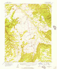
1954 Map of Hatch Rock
USGS Topo · Published 1957About this map
Big Indian Valley and the surrounding high desert plateaus of San Juan County are documented here during a period of intense uranium exploration and mining activity. The map reveals a high concentration of mineral claims in the northeast, including the Mi Vida Mine, Big Indian Mine, and San Juan Shaft Mine. These operations were served by a small network of unimproved roads and remote landing fields. The isolated outpost of Ogden Center appears as a primary focal point in the central canyon lands.
Find a feature on this map
63 named features on this map. Tap any name to fly to it.
Don’t see what you’re looking for? This feature index may not catch every label — zoom into the map to look around manually.
Map Details
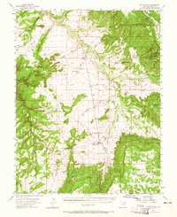
Editions of this 1954 Hatch Rock Map
2 editions found
Other maps of this area

1885 · La Sal
USGS Topo · 1:250,000

1886 · Abajo
USGS Topo · 1:250,000

1892 · Abajo
USGS Topo · 1:250,000

1893 · Abajo
USGS Topo · 1:250,000

1935 · Elk Ridge
USGS Topo · 1:96,000

1940 · Elk Ridge
USGS Topo · 1:125,000

1954 · Elk Ridge 1 NE
USGS Topo · 1:24,000

1954 · Mt Peale 3 NW
USGS Topo · 1:24,000

1954 · Mt Peale 4 NW
USGS Topo · 1:24,000

1954 · Mt Peale 3 SW
USGS Topo · 1:24,000