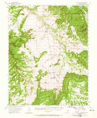
1954 Map of Hatch Rock
USGS Topo · Published 1965About this map
The rugged uranium-producing landscape of San Juan County comes into sharp focus through several prominent mining operations concentrated in the northeast. The Mi Vida Mine and Homestake Mine stand as significant markers of the mid-century mining boom, supported by nearby facilities like the San Juan Shaft Mine and the Small Fry Mine. These industrial points contrast with a terrain defined by dramatic landmarks such as Church Rock and George Rock near the Ogden Center road junction. Transport and logistics in this remote area are represented by a high-altitude Landing Field and several water-management features like The Tank and Harts Spr. The map reveals a specialized landscape where extraction industry and isolated navigation points meet across topographic barriers like Hatch Point and Rone Bailey Mesa.
Find a feature on this map
53 named features on this map. Tap any name to fly to it.
Don’t see what you’re looking for? This feature index may not catch every label — zoom into the map to look around manually.
Map Details
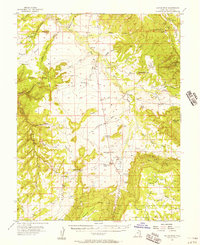
Editions of this 1954 Hatch Rock Map
2 editions found
Other maps of this area

1885 · La Sal
USGS Topo · 1:250,000

1886 · Abajo
USGS Topo · 1:250,000

1892 · Abajo
USGS Topo · 1:250,000

1893 · Abajo
USGS Topo · 1:250,000

1935 · Elk Ridge
USGS Topo · 1:96,000

1940 · Elk Ridge
USGS Topo · 1:125,000

1954 · Elk Ridge 1 NE
USGS Topo · 1:24,000

1954 · Mt Peale 3 NW
USGS Topo · 1:24,000

1954 · Mt Peale 4 NW
USGS Topo · 1:24,000

1954 · Mt Peale 3 SW
USGS Topo · 1:24,000