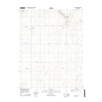
2014 Map of Eastland NW
USGS Topo · Published 2014About this map
Iron Spring Canyon and Bear Trap Canyon define the drainage patterns of this high-plateau landscape in San Juan County. In this arid reach of southeastern Utah, water management is evident at Iron Springs Reservoir and the nearby Iron Spring, providing critical resources for the local ranching and agricultural operations that rely on seasonal flows. The land is partitioned by a grid of rural routes including Farmer Rd, S Canyon Rd, and Co Road 331, which connect remote homesteads and access points across Hickman Flt. To the south, Boulder Cr and Sitton Wls mark additional points of interest for those tracking historical water rights and land use in the Four Corners region.
Find a feature on this map
24 named features on this map. Tap any name to fly to it.
Don’t see what you’re looking for? This feature index may not catch every label — zoom into the map to look around manually.
Map Details
Editions of this 2014 Eastland NW Map
This is the sole edition of this map. No revisions or reprints were ever made.
Other maps of this area
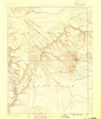
1885 · La Sal
USGS Topo · 1:250,000
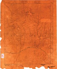
1886 · Abajo
USGS Topo · 1:250,000
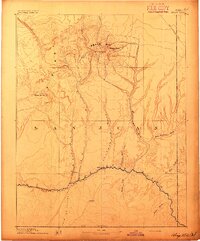
1892 · Abajo
USGS Topo · 1:250,000
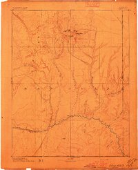
1893 · Abajo
USGS Topo · 1:250,000
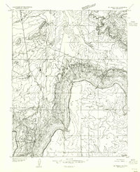
1954 · Mt Peale 3 SE
USGS Topo · 1:24,000
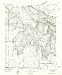
1954 · Mt Peale 4 SE
USGS Topo · 1:24,000
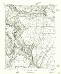
1954 · Mt Peale 4 SW
USGS Topo · 1:24,000
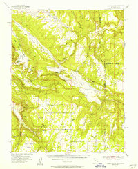
1954 · Lisbon Valley
USGS Topo · 1:62,500
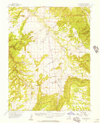
1954 · Hatch Rock
USGS Topo · 1:62,500
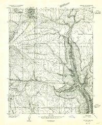
1955 · Verdure 2 SE
USGS Topo · 1:24,000