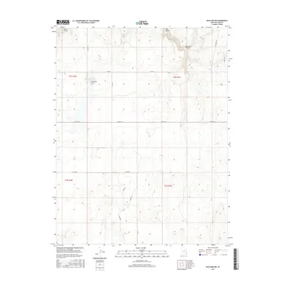
2017 Map of Eastland NW
USGS Topo · Published 2017About this map
Hickman Flat dominates the central landscape of this San Juan County survey, illustrating the high-altitude plateau character of southeastern Utah. The map documents a sparse but vital network of water resources and rural infrastructure, centered on the Iron Springs Reservoir and the headwaters of Boulder Cr. These water sources are critical in this arid region, where topographic depressions like N Long Draw and deep incisions such as Bear Trap Canyon define the movement of both water and travelers. The township boundaries of t32s r24e and surrounding ranges show a regular grid of section lines intersected by local routes like Sitton Rd and Houston Rd. This configuration reflects a land use pattern focused on large-scale grazing or dry-land agriculture, supported by localized features such as Sitton Well.
Find a feature on this map
24 named features on this map. Tap any name to fly to it.
Don’t see what you’re looking for? This feature index may not catch every label — zoom into the map to look around manually.
Map Details
Editions of this 2017 Eastland NW Map
This is the sole edition of this map. No revisions or reprints were ever made.
Other maps of this area
1885 · La Sal
USGS Topo · 1:250,000
1886 · Abajo
USGS Topo · 1:250,000
1892 · Abajo
USGS Topo · 1:250,000
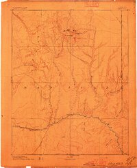
1893 · Abajo
USGS Topo · 1:250,000
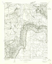
1954 · Mt Peale 3 SE
USGS Topo · 1:24,000
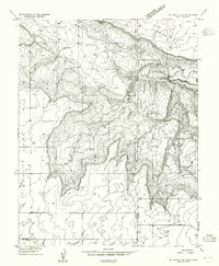
1954 · Mt Peale 4 SE
USGS Topo · 1:24,000
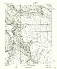
1954 · Mt Peale 4 SW
USGS Topo · 1:24,000
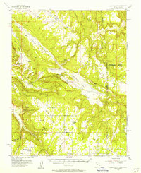
1954 · Lisbon Valley
USGS Topo · 1:62,500
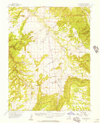
1954 · Hatch Rock
USGS Topo · 1:62,500
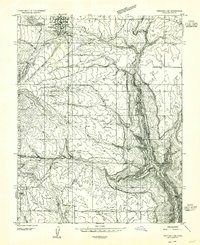
1955 · Verdure 2 SE
USGS Topo · 1:24,000