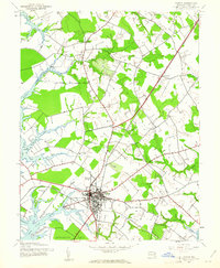
1942 Map of Easton
USGS Topo · Published 1961About this map
The Eastern Shore town of Easton serves as the focal point of this 1942 survey, revealing a landscape defined by its deep connection to the Chesapeake's tidal tributaries. The town’s early twentieth-century growth is marked by its position at the intersection of the Pennsylvania railroad and the Baltimore and Eastern line, with the Easton Airport appearing to the north. Waterfront life is concentrated along the Tred Avon River and Miles River, where numerous tidal creeks like Glebe Creek and Dixon Creek reach into the surrounding farmland.
Find a feature on this map
31 named features on this map. Tap any name to fly to it.
Don’t see what you’re looking for? This feature index may not catch every label — zoom into the map to look around manually.
Map Details
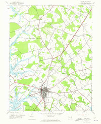
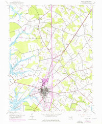
Editions of this 1942 Easton Map
3 editions found
Other maps of this area

1898 · Choptank
USGS Topo · 1:125,000

1904 · St. Michaels
USGS Topo · 1:62,500

1904 · Oxford
USGS Topo · 1:62,500

1905 · Denton
USGS Topo · 1:62,500

1905 · Hurlock
USGS Topo · 1:62,500

1908 · Choptank
USGS Topo · 1:125,000

1942 · Oxford
USGS Topo · 1:31,680
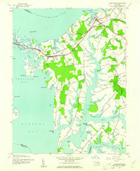
1942 · Queenstown
USGS Topo · 1:24,000
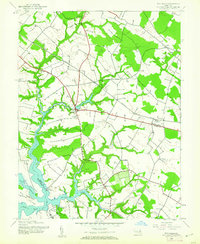
1942 · Wye Mills
USGS Topo · 1:24,000
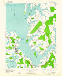
1942 · St. Michaels
USGS Topo · 1:24,000