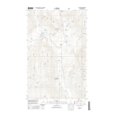
2013 Map of Eastport
USGS Topo · Published 2013About this map
Eastport serves as a critical border point where US Hwy 95 crosses into Canada, anchoring a landscape dominated by the timbered slopes of the Kanisku National Forest. The Moyie River carves a deep valley through the Purcell Mountains, creating a corridor for both transit and recreation. Small settlements such as Addie, Sinclair, and the uniquely named Good Grief dot the riverbanks and highway, representing the thin line of habitation in this remote corner of Boundary County.
Find a feature on this map
46 named features on this map. Tap any name to fly to it.
Don’t see what you’re looking for? This feature index may not catch every label — zoom into the map to look around manually.
Map Details
Editions of this 2013 Eastport Map
This is the sole edition of this map. No revisions or reprints were ever made.
Other maps of this area
1911 · Priest Lake
USGS Topo · 1:250,000
1913 · Priest Lake
USGS Topo · 1:250,000

1958 · Sandpoint
USGS Topo · 1:250,000

1963 · Sandpoint
USGS Topo · 1:250,000
1965 · Meadow Creek
USGS Topo · 1:24,000
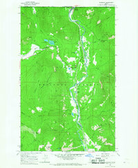
1965 · Eastport
USGS Topo · 1:24,000
1965 · Ritz
USGS Topo · 1:24,000
1965 · Line Point
USGS Topo · 1:24,000
1965 · Canuck Peak
USGS Topo · 1:24,000
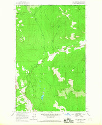
1965 · Hall Mountain
USGS Topo · 1:24,000