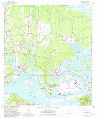
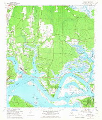
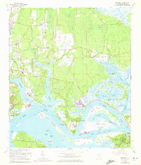
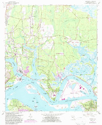
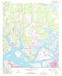
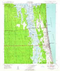
1964 Map of Eastport
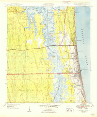
USGS Topo · Published 1982About this map
The St Johns River dominates this coastal landscape, serving as a vital industrial and navigational artery where the Back River and Dames Point Turn meet. This mid-century view highlights the maritime infrastructure of the era, from the U S Navy Fuel Depot to the extensive island network including Blount Island and Quarantine Island. Inland, the map reveals the transition of the marshlands into the established neighborhoods of Eastport, Polly Town, and Beacon Hills.
Find a feature on this map
74 named features on this map. Tap any name to fly to it.
Don’t see what you’re looking for? This feature index may not catch every label — zoom into the map to look around manually.
Map Details
Editions of this 1964 Eastport Map
7 editions found

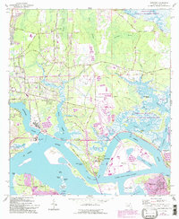
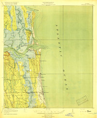
Other maps of this area

1918 · St Marys
USGS Topo · 1:62,500

1918 · Jacksonville
USGS Topo · 1:62,500
1918 · Mayport
USGS Topo · 1:62,500
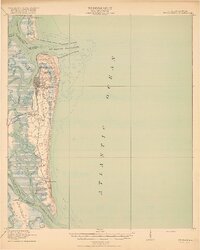
1919 · Fernandina
USGS Topo · 1:62,500

1919 · St Marys
USGS Topo · 1:62,500

1944 · Fernandina
USGS Topo · 1:62,500

1948 · Jacksonville
USGS Topo · 1:250,000
1948 · Jacksonville Beach
USGS Topo · 1:24,000

1948 · Eastport
USGS Topo · 1:24,000
1949 · Jacksonville Beach
USGS Topo · 1:24,000
Featured Places
- Jacksonville, FL
- New Berlin, Jacksonville
- Fort Caroline, Jacksonville
- Polly Town, Jacksonville
- Dames Point Manor, Jacksonville