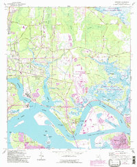
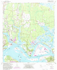
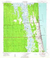
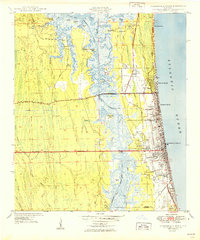
1964 Map of Eastport
USGS Topo · Published 1992About this map
The St Johns River and its intricate network of salt marshes dominate this mid-century view of the coastal corridor north of Jacksonville. Maritime and industrial heritage is evident at the US Navy Fuel Depot and the Seaboard Air Line rail corridor, which served the port-side settlements of Eastport and New Berlin. The landscape is a complex of islands and points, including Blount Island and Dames Point, situated along the Dames Point-Fulton Cutoff.
Find a feature on this map
71 named features on this map. Tap any name to fly to it.
Don’t see what you’re looking for? This feature index may not catch every label — zoom into the map to look around manually.
Map Details
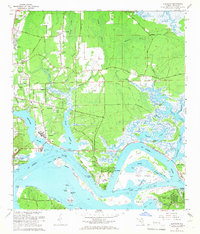
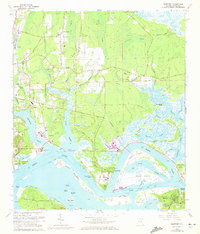
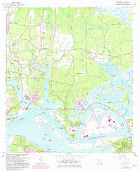
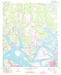
Editions of this 1964 Eastport Map
7 editions found

Other maps of this area

1918 · St Marys
USGS Topo · 1:62,500

1918 · Jacksonville
USGS Topo · 1:62,500
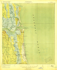
1918 · Mayport
USGS Topo · 1:62,500
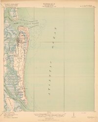
1919 · Fernandina
USGS Topo · 1:62,500

1919 · St Marys
USGS Topo · 1:62,500

1944 · Fernandina
USGS Topo · 1:62,500

1948 · Jacksonville
USGS Topo · 1:250,000
1948 · Jacksonville Beach
USGS Topo · 1:24,000

1948 · Eastport
USGS Topo · 1:24,000
1949 · Jacksonville Beach
USGS Topo · 1:24,000
Featured Places
- Jacksonville, FL
- New Berlin, Jacksonville
- Fort Caroline, Jacksonville
- Polly Town, Jacksonville
- Dames Point Manor, Jacksonville