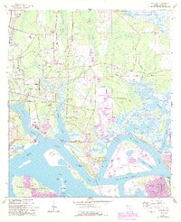
1964 Map of Eastport
USGS Topo · Published 1992About this map
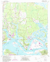
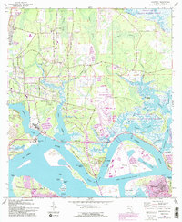
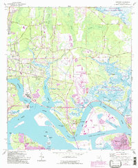
Yellow Bluff Fort State Historical Site stands as a significant landmark along the St Johns River, marking a landscape defined by its strategic coastal position and intricate waterways. This 1964 survey, updated with 1989 aerial revisions, reveals the transformation of northern Jacksonville from a series of isolated river settlements like New Berlin and Eastport into a growing industrial and maritime hub. The map provides extensive detail of the marshlands now protected within the Timucuan National Ecological and Historic Preserve, while also documenting the mid-century footprint of the US Navy Fuel Depot and the development of Blount Island. The presence of established community features, such as the Dunn Creek Cem and Oak Grove Ch, alongside newer residential areas like Beacon Hills, illustrates the shifting social geography of Duval County as suburban expansion met the historic river-based economy.
Find a feature on this map
63 named features on this map. Tap any name to fly to it.
Don’t see what you’re looking for? This feature index may not catch every label — zoom into the map to look around manually.
Map Details
Editions of this 1964 Eastport Map
7 editions found
Other maps of this area

1918 · St Marys
USGS Topo · 1:62,500

1918 · Jacksonville
USGS Topo · 1:62,500

1918 · Mayport
USGS Topo · 1:62,500

1919 · Fernandina
USGS Topo · 1:62,500

1919 · St Marys
USGS Topo · 1:62,500

1944 · Fernandina
USGS Topo · 1:62,500

1948 · Jacksonville
USGS Topo · 1:250,000

1948 · Jacksonville Beach
USGS Topo · 1:24,000

1948 · Eastport
USGS Topo · 1:24,000

1949 · Jacksonville Beach
USGS Topo · 1:24,000
Featured Places
- Jacksonville, FL
- New Berlin, Jacksonville
- Fort Caroline, Jacksonville
- Polly Town, Jacksonville
- Dames Point Manor, Jacksonville