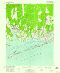
1956 Map of Eastport
USGS Topo · Published 1958About this map
Westhampton Beach and its neighboring South Shore communities are captured in this mid-century survey, showcasing a landscape defined by the intricate waterways of Moriches Bay and the Atlantic coastline. The era's strategic footprint is clearly visible at the U S Mil Res Suffolk County Air Force Base, which occupies a large tract in the northeast. Transportation and leisure define the land use, with the Long Island Railroad providing the backbone for coastal settlements like Speonk and Eastport, while the Long Island Country Club and Westhampton Country Club highlight the area's development as a seasonal retreat.
Find a feature on this map
54 named features on this map. Tap any name to fly to it.
Don’t see what you’re looking for? This feature index may not catch every label — zoom into the map to look around manually.
Map Details
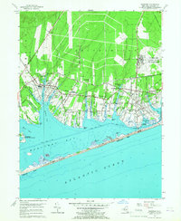
Editions of this 1956 Eastport Map
2 editions found
Other maps of this area

1903 · Riverhead
USGS Topo · 1:62,500

1904 · Riverhead
USGS Topo · 1:62,500

1904 · Moriches
USGS Topo · 1:62,500

1943 · Riverhead
USGS Topo · 1:62,500

1947 · Mattituck
USGS Topo · 1:24,000

1947 · Riverhead
USGS Topo · 1:24,000

1947 · Quogue
USGS Topo · 1:24,000

1947 · Eastport
USGS Topo · 1:24,000

1949 · New York
USGS Topo · 1:250,000

1954 · New York
USGS Topo · 1:250,000