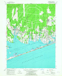
1956 Map of Eastport
USGS Topo · Published 1967About this map
Southampton and Brookhaven meet along the shores of this South Shore landscape in the mid-1950s. The region is defined by a series of narrow peninsulas like Tanner Neck and Apacuck Point reaching into Moriches Bay and Moneyboque Bay. Coastal life is centered on the Long Island Railroad corridor, which connects established villages such as Eastport, Speonk, and Westhampton. The map reveals a mix of local industry and early suburbanization, from the Fish Hatchery near Seatuck Creek to the presence of the US Mil Res Suffolk County Air Force Base in the northeast.
Find a feature on this map
79 named features on this map. Tap any name to fly to it.
Don’t see what you’re looking for? This feature index may not catch every label — zoom into the map to look around manually.
Map Details
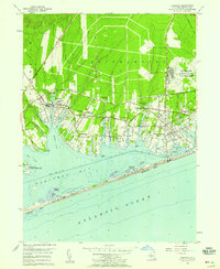
Editions of this 1956 Eastport Map
2 editions found
Other maps of this area

1903 · Riverhead
USGS Topo · 1:62,500

1904 · Riverhead
USGS Topo · 1:62,500

1904 · Moriches
USGS Topo · 1:62,500

1943 · Riverhead
USGS Topo · 1:62,500

1947 · Mattituck
USGS Topo · 1:24,000

1947 · Riverhead
USGS Topo · 1:24,000

1947 · Quogue
USGS Topo · 1:24,000

1947 · Eastport
USGS Topo · 1:24,000

1949 · New York
USGS Topo · 1:250,000

1954 · New York
USGS Topo · 1:250,000