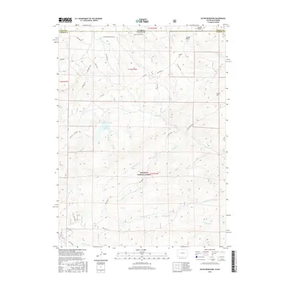
2016 Map of Eaton Reservoir
USGS Topo · Published 2016About this map
Eaton Reservoir and the adjacent Worster Reservoir anchor this high-altitude landscape along the border of Larimer County, Colorado, and Albany County, Wyoming. The terrain is defined by the headwaters of numerous drainages, including Running Water Cr, Trout Cr, and the W Fork Beaver Cr, which carve through the elevations of the Roosevelt National Forest. The presence of the Worster Cem near Boulder Ridge provides a significant touchstone for family researchers, marking a legacy of early ranching and settlement in this mountain corridor.
Find a feature on this map
41 named features on this map. Tap any name to fly to it.
Don’t see what you’re looking for? This feature index may not catch every label — zoom into the map to look around manually.
Map Details
Editions of this 2016 Eaton Reservoir Map
This is the sole edition of this map. No revisions or reprints were ever made.
Other maps of this area
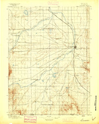
1895 · Laramie
USGS Topo · 1:125,000
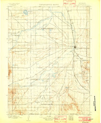
1902 · Laramie
USGS Topo · 1:125,000
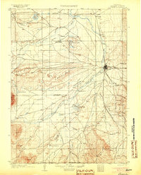
1905 · Laramie
USGS Topo · 1:125,000
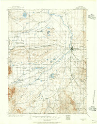
1906 · Laramie
USGS Topo · 1:125,000
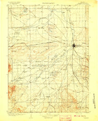
1908 · Laramie
USGS Topo · 1:125,000
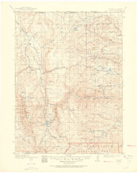
1916 · Home
USGS Topo · 1:125,000
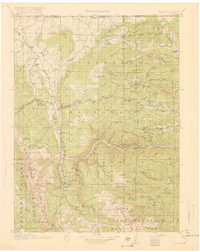
1920 · Home
USGS Topo · 1:125,000
1954 · Cheyenne
USGS Topo · 1:250,000
1954 · Greeley
USGS Topo · 1:250,000
1957 · Greeley
USGS Topo · 1:250,000