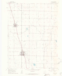
1960 Map of Eaton
USGS Topo · Published 1962About this map
Agricultural development and water management define this High Plains landscape north of Greeley. The Union Pacific railroad serves as the primary spine for growth, connecting the communities of Ault and Eaton. Local history is anchored by the presence of Ault Cem, Eaton Cem, and the rural Wyatt Sch. The map reveals a complex irrigation network essential to the region's economy, including the Eaton Ditch, various unnamed laterals, and the Aqueduct. Small bodies of water like Clark Lake and Cozzens Lake dot the terrain alongside Spring Creek, while industrial activity is noted at the Gravel Pits and Barnett Airfield. This 1960 survey illustrates the organized township and range system, with fine dashed lines indicating the fence and field boundaries that partitioned the Weld County prairie.
Find a feature on this map
24 named features on this map. Tap any name to fly to it.
Don’t see what you’re looking for? This feature index may not catch every label — zoom into the map to look around manually.
Map Details
Editions of this 1960 Eaton Map
4 editions found
Other maps of this area

1902 · Greeley
USGS Topo · 1:125,000

1908 · Eaton
USGS Topo · 1:125,000

1910 · Eaton
USGS Topo · 1:125,000

1950 · Greeley
USGS Topo · 1:24,000

1950 · Kersey
USGS Topo · 1:24,000

1950 · Bracewell
USGS Topo · 1:24,000
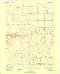
1951 · Bracewell
USGS Topo · 1:24,000

1954 · Greeley
USGS Topo · 1:250,000

1957 · Greeley
USGS Topo · 1:250,000

1958 · Greeley
USGS Topo · 1:250,000