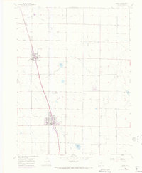
1960 Map of Eaton
USGS Topo · Published 1973About this map
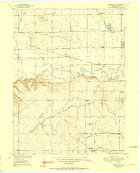
The agricultural landscape of Weld County is defined by an intricate network of irrigation channels and the Union Pacific railroad line, which anchors the towns of Ault and Eaton. In the early 1960s, these communities served as vital shipping points for the surrounding plains, where water management systems like the Eaton Ditch, Lone Tree Ditch, and Mead Aqueduct sustained local production. The map reveals the social infrastructure of the time, including the Wyatt Sch and several cemeteries, such as Ault Cem and Eaton Cem. Natural drainage features like Lone Tree Creek and Spring Creek are punctuated by man-made catchments including Clark Lake and Packard Reservoir. This survey highlights the era's reliance on rail and water, showing how the local economy centered on these lifelines.
Find a feature on this map
25 named features on this map. Tap any name to fly to it.
Don’t see what you’re looking for? This feature index may not catch every label — zoom into the map to look around manually.
Map Details
Editions of this 1960 Eaton Map
4 editions found
Other maps of this area

1902 · Greeley
USGS Topo · 1:125,000

1908 · Eaton
USGS Topo · 1:125,000

1910 · Eaton
USGS Topo · 1:125,000

1950 · Greeley
USGS Topo · 1:24,000

1950 · Kersey
USGS Topo · 1:24,000

1950 · Bracewell
USGS Topo · 1:24,000
1951 · Bracewell
USGS Topo · 1:24,000

1954 · Greeley
USGS Topo · 1:250,000

1957 · Greeley
USGS Topo · 1:250,000

1958 · Greeley
USGS Topo · 1:250,000