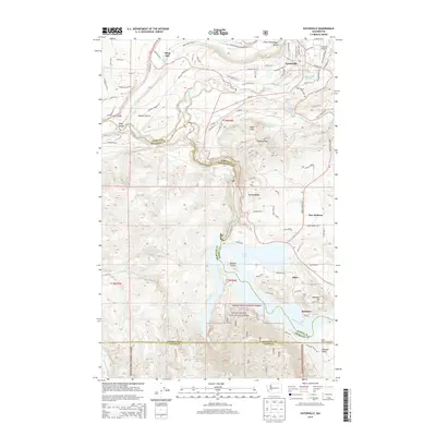
2014 Map of Eatonville
USGS Topo · Published 2014About this map
Eatonville serves as the primary hub in this Pierce County landscape, situated near the headwaters of the Mashel River and Lynch Creek. The town's local geography is defined by its proximity to the Eatonville Mill Pond and the Eatonville Cemetery, while Swanson Airport provides an aerial gateway to the region. To the south, the power of the glacial Nisqually River is harnessed at the La Grande Reservoir and Alder Lake, with the latter featuring the Alder Lake Campground and Bosucki Island.
Find a feature on this map
100 named features on this map. Tap any name to fly to it.
Don’t see what you’re looking for? This feature index may not catch every label — zoom into the map to look around manually.
Map Details
Editions of this 2014 Eatonville Map
This is the sole edition of this map. No revisions or reprints were ever made.
Other maps of this area

1937 · Eatonville
USGS Topo · 1:125,000

1941 · Tanwax Lake
USGS Topo · 1:62,500

1944 · Ohop Valley
USGS Topo · 1:62,500

1949 · Ohop Valley
USGS Topo · 1:62,500

1953 · Hoquiam
USGS Topo · 1:250,000

1956 · Mineral
USGS Topo · 1:62,500

1956 · Kapowsin
USGS Topo · 1:62,500

1957 · Hoquiam
USGS Topo · 1:250,000

1957 · Morton
USGS Topo · 1:62,500

1958 · Hoquiam
USGS Topo · 1:250,000